Introduction
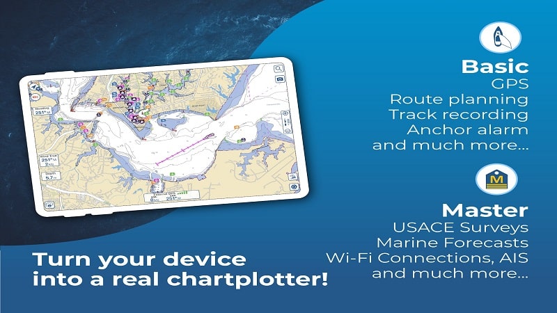
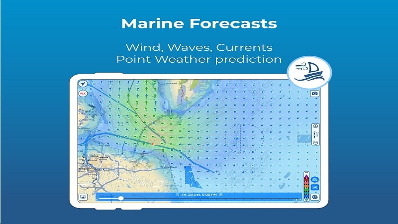
Aqua Map Boating is the ultimate tool for marine navigation, offering access to official nautical charts from NOAA. With a simple subscription, users can download map areas for offline use, overlay satellite images, create routes, record tracks, and even connect onboard instruments for a complete navigation experience. The app also provides valuable features like tides and currents predictions, anchor alarms, and points of interest from the "ActiveCaptain" and "Waterway Guide" communities. For those seeking advanced features, the Expert and Master subscriptions offer marine forecasts, AIS collision detection, route explorer, and U.S. local data from the Army Corps of Engineers and Coast Guard. Don't miss the chance to enhance your boating experience with Aqua Map!
Features of Aqua Map Boating:
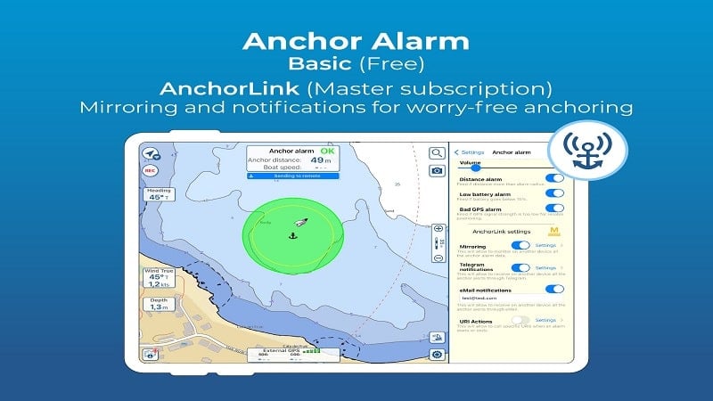
❤ Comprehensive Navigation Tools: Aqua Map offers a wide range of navigation tools such as route planning, track recording, tides and currents predictions, and anchor alarm to ensure a safe and efficient sailing experience.
❤ Community Integration: By enabling Live Sharing, users can interact with the Aqua Map community, share navigation data, and access points of interest from the "ActiveCaptain" and "Waterway Guide" communities.
❤ Expert Subscription: Upgrade to the Expert subscription to access marine forecasts, advanced AnchorLink features, NMEA instrument connectivity, AIS with collision detection, and real-time route information for enhanced navigation capabilities.
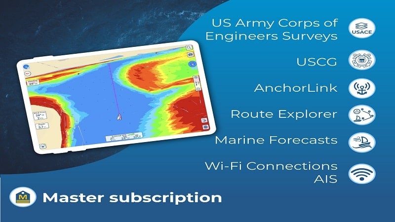
❤ Master Subscription: The Master subscription includes all features of the Expert subscription along with U.S. local data such as Army Corps of Engineers surveys and Coast Guard lights list for safe navigation in shallow waters.
FAQs:
❤ What is included in the Basic Features of Aqua Map?
- The Basic Features include overlaying satellite images on charts, route creation, track recording, tides and currents predictions, anchor alarm, Live Sharing, and points of interest display.
❤ How do I purchase a chart subscription for Aqua Map?
- To access the charts, users need to purchase a chart subscription for their area of interest. Additionally, users can add the Expert or Master subscription for extra navigation features and data.
❤ Can I cancel my subscription and how do I manage it?
- Subscription payments are made through the Google account and will automatically renew unless canceled at least 24 hours before expiration. Users can manage their subscription and disable automatic renewal in the account settings section after purchase.
Conclusion:
Aqua Map Boating offers a comprehensive and user-friendly platform for marine navigation, with features ranging from route planning to real-time data from NMEA instruments. By incorporating community integration and providing Expert and Master subscriptions for advanced navigation capabilities, Aqua Map ensures a safe and enjoyable sailing experience for all users. Upgrade today and unlock the full potential of Aqua Map for your next water adventure.
- No virus
- No advertising
- User protection
Information
- File size: 91.30 M
- Language: English
- Latest Version: 31.3
- Requirements: Android
- Votes: 306
- Package ID: com.gec.MarineApp.WorldViewerLite
- Developer: GEC srl
Screenshots
Explore More
The Map Navigation Software Collection features a wide range of navigation apps, addressing the issue of friends being unsure of their way when heading out. These apps provide precise navigation for users and adjust routes based on real-time traffic conditions to ensure users reach their destination quickly.

Trucker Path: Truck GPS & Fuel

TVI Reality - Secret Story

ALTLAS: Trails, Maps & Hike

UC Browser-Safe, Fast, Private

GPS Speedometer : Odometer HUD

Urban Bike Tracker & more

SOOP (숲)

Live Earth Map & GPS Map
